«Map» subsection
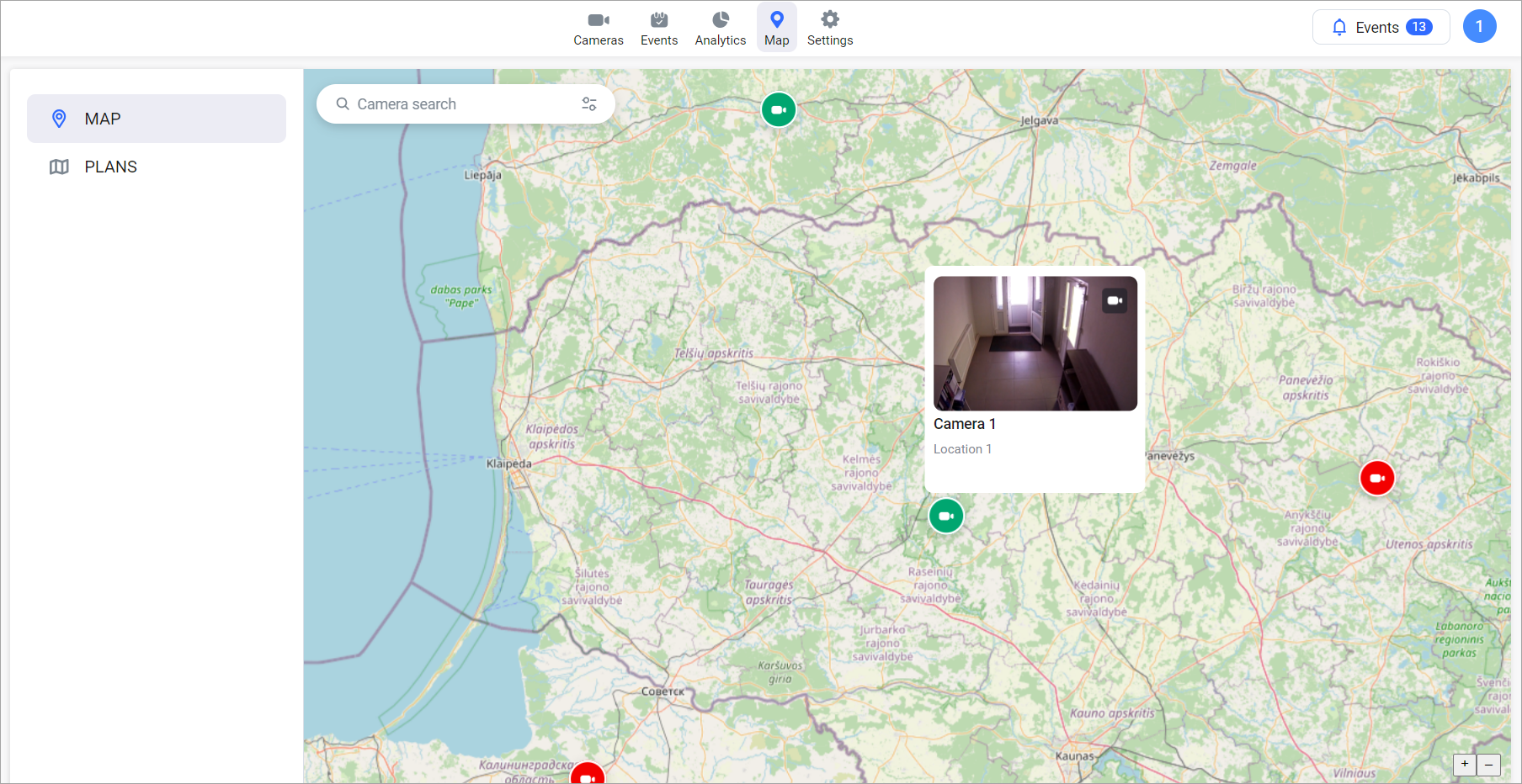
To demonstrate the camera locations, an OpenStreetMap-based web cartographic project map is used.
When you navigate to the «Map» section in the workspace, a geographical map is displayed with cameras that have specified coordinates.
Key map functions include:
Zoom in/out for map display
Search (enter an address starting from the locality to search)
Accessing cameras via markers
Camera map
Hover the cursor over a camera icon to retrieve information about the camera's name and installation address.
Click on a camera icon to obtain information about the camera's name and installation address. Additionally, an image from the camera at the moment of clicking will be displayed.
To access the live camera feed for viewing, click on the camera icon in the preview window.
To search for a camera on the map, enter the camera name in the search field. As a result, a list of cameras whose names include the specified combination will be displayed.
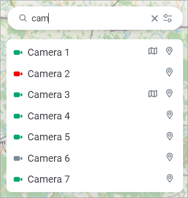
Filtering cameras by name
The following icons are displayed next to the camera name:
Plan – if the camera is added to the plan. When clicked, you go to the plan editing page (see further section «Subsection «Plans»)
Position on the map. When pressed, the map moves to the camera coordinates
Also, when searching, you can filter cameras by status. To do this, in the search field, click on the status selection button and mark the desired statuses.
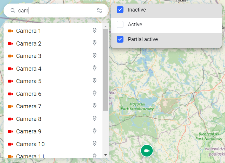
Filtering cameras by name and status